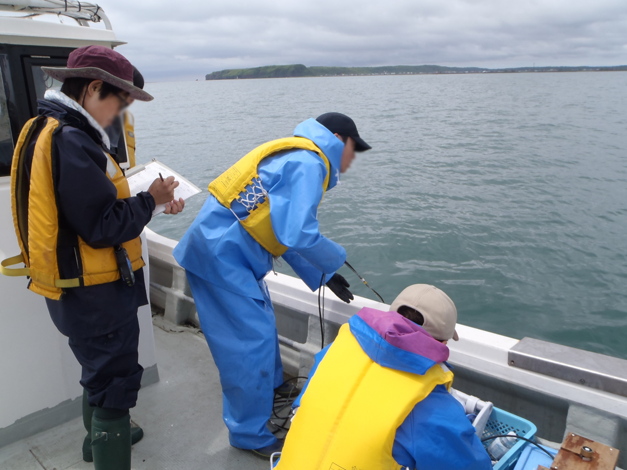
Seawater sampling was conducted at a total of 11 stations in Biwase and Hamanaka Bays on June 23, 2014 in the timing of flood tide. Sampling stations were divided into four areas as follows: Area 1, Biwase Bay near the Biwase River mouth (St.1-2); Area 2, Biwase Bay facing Kiritappu Wetland (St.3-5); Area 3, Hamanaka Bay facing Kiritappu Wetland (St. 6-8); Area 4, Hamanaka Bay, apart from Kiritappu Wetland and directly affected by Coastal Oyashio Water (St.9-11). Biwase Bay and Hamanaka Bay are geographically divided by peninsula of Cape Kiritappu. Stations were along the 5-m isobath except for St.1 (1.8 m). Before seawater sampling, seawater temperature and salinity were measured with a conductivity, temperature, and depth (CTD) sensor (RINKO profiler ASTD102; JFE Advantech, Nishinomiya, Japan). Next, samples for the measurement of nutrient concentration, total and size-fractionated Chl a concentrations, cell density and composition of diatoms, absorption coefficient of colored dissolved organic matter (CDOM) were collected from the surface using an acid-cleaned bucket.